Leading public safety technology company Carbyne has announced its integration with Edgybees, a provider of high-precision, geo-registration software for aerial video that improves response time, accuracy, and communications for first responders during emergencies. The partnership brings video imagery to 911 call centers, public safety decision makers, and first responders in real-time through drone footage, enabling them to assess situations and efficiently respond based on precise video of the area in crisis.
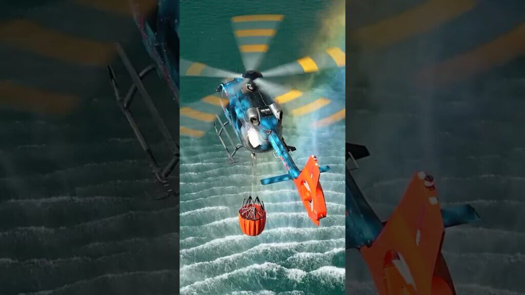
Cities across the country are rapidly deploying innovative solutions, including drones, to aid in disaster response and overhaul the emergency response system – ultimately reducing time to dispatch and saving lives. Edgybees’ AI-centric software solution, in combination with Carbyne’s 911 unmatched video capabilities, improves situational awareness for emergency responders in dangerous circumstances such as wildfires, floods, or earthquakes. Expanding on Carbyne’s existing data set, Edgybees’ technology delivers real-time video augmented with high-precision geographical registration from any drone, which is then transmitted into any application gateway connector.
Through this integration, Carbyne can receive footage from any connected drone and stream it directly to the 911 call center, not only giving dispatchers and first responders an aerial view of the territory, but also providing additional key data points such as specific street names or traffic lights to pinpoint the exact location of the disaster. This unique approach generates real-time, detailed overlays of roads, key landmarks, and other mission-critical data on top of live video feeds, enabling defense, public safety, and critical infrastructure teams to accomplish lifesaving and high-urgency missions quickly and safely.
“The vulnerabilities of our emergency response system have continually revealed themselves over the past year, and it’s evident the outdated system requires improvements that will save more lives and simplify the method overall,” said President and COO of Carbyne, Erez Tsur. “Technological advancements in emergency response, such as the incorporation of real-time video or even drone capabilities, are streamlining mission-critical operations like never before. Carbyne is eager to partner with Edgybees to elevate our platform’s accuracy, improve life-saving measures, and achieve unprecedented location precision in the face of danger or disaster.”
“Adding real-time video augmented with accurate geo-location of roads and key landmarks delivers a new level of visibility to response centers using the Carbyne emergency collaboration platform. It provides accurate situational analysis to first responders, dramatically increasing their ability to save lives during natural disasters, search and rescue missions, and other emergency response operations,” stated Adam Kaplan, CEO and co-founder of Edgybees. “The Edgybees platform has been battle-tested in major public emergency situations, including wildfires in Australia and California and major category 5 hurricanes. We look forward to our collaboration with Carbyne to help advance public safety teams.”
This press release was prepared and distributed by Carbyne.