With roots going back to 1985, AG-NAV Inc. is one of the world’s biggest names in advanced GPS-enabled aerial navigation and data acquisition products.
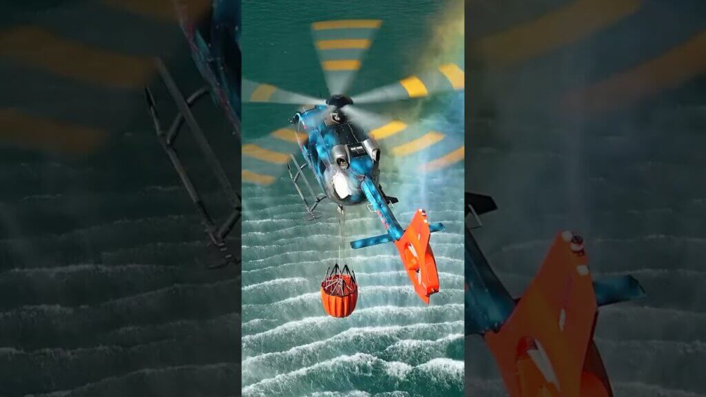
Although its biggest market focus is the aerial application of agricultural fertilizers and pesticides, AG-NAV is also rapidly making a name for itself in other niches, including mosquito control. The Barrie, Ontario-based company employs 20 people–most of them hardware and software engineers–who develop its complete product range in-house.


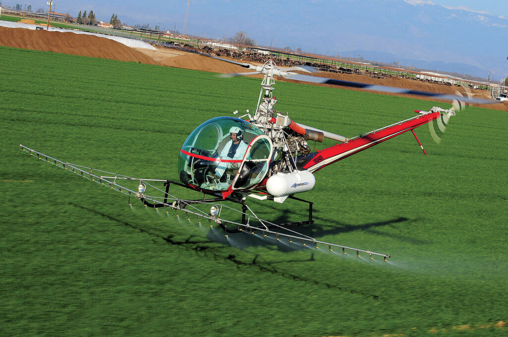
“Since GPS, many agricultural application users are moving towards that technology because of the precision involved,” explained Ramirez. “The use of GPS technology has cut agricultural aircraft usage by 30 percent. There is more accuracy, less time in the air to cover the same area, and less time on the engine.”
The AG-NAV Guia is the company’s best-selling aerial navigation system, with the basic model priced at about US$6,000 and the most advanced at US$25,000. The systems are modular, allowing customers to add additional capability to basic units as the need develops.

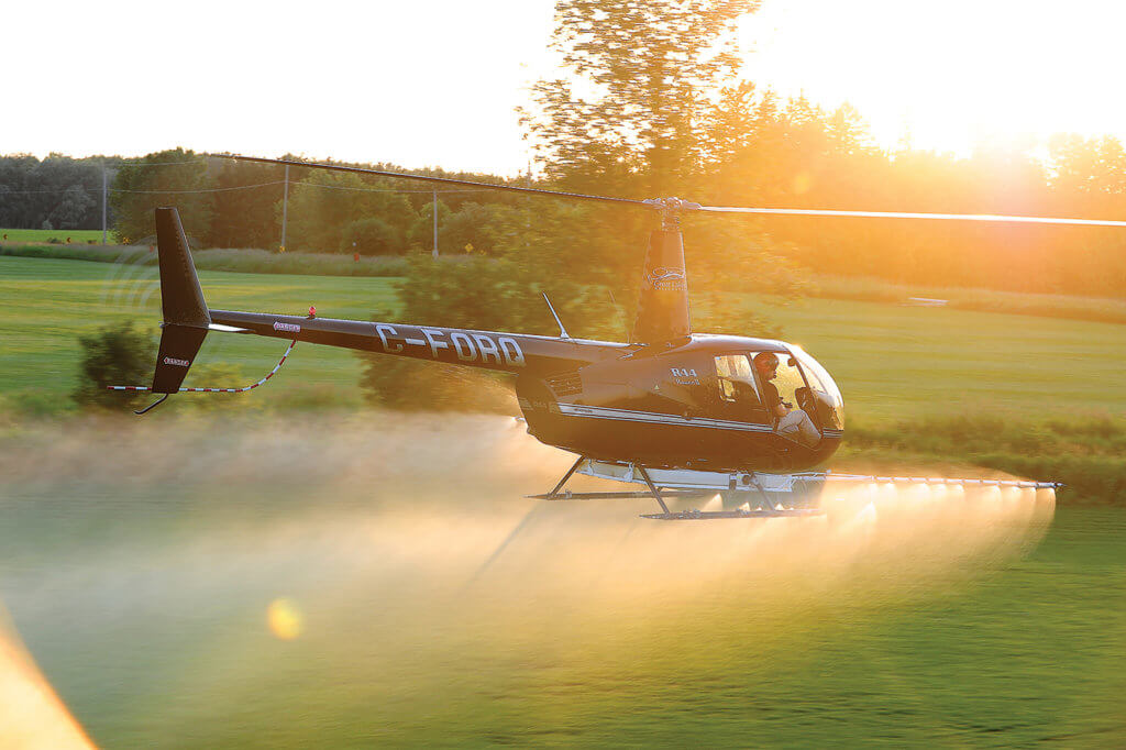

Through the use of geographic information system (GIS) technology, operators can precisely map out a farm field.
“The automatic target allows for the person to start the spray at the beginning of a field and stop at the end of a field, based on a map that has been put into the navigation system,” said Ramirez.
The systems can also be programmed to take environmental factors like wind speed, temperature and relative humidity into account. Upper models can connect via Wi-Fi or a cellphone hotspot to access a website that will input that data for the user.


“We have systems out there that are 15 years old and still running,” said Ramirez. “We have a very proactive philosophy when it comes to product development. When our customers pay for a system, they get free software updates for life, worldwide, and free technical support.
“That’s a benefit we give to the clients. That way, new software technology–released about every two years–is free of charge. They’re always up to date.”
He added that AG-NAV tries to service products within 48 hours because “the longer a system is down, the less money a client can make.”
Steady growth
In the last five years, AG-NAV’s sales have increased by 15 to 20 percent annually. Client loyalty is close to 100 percent in the aerial application industry, which includes about 1,350 companies in the U.S. alone.


In the meantime, the Canadian company
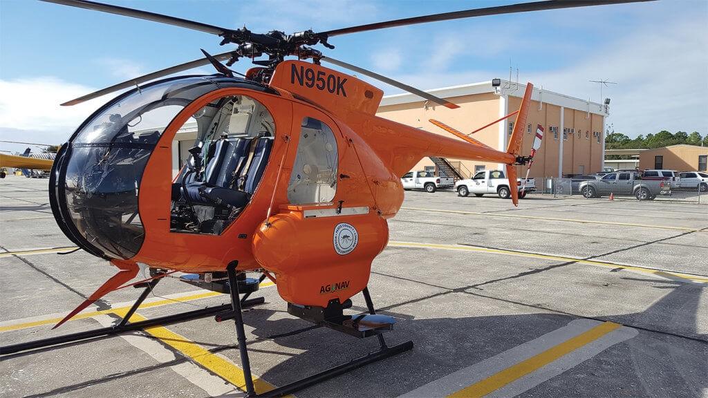
has experienced significant growth in aerial mosquito control.
“Because of the diseases that mosquitos bring, governments worldwide try to control these pests by aerial applications of larvicides or insecticides,” said Ramirez. “Our unique navigation system, the FlightMaster, is the No. 1 product used by government agencies in North America to control mosquitos.”

Ramirez sees opportunities with the military as well. “They have a lot of training areas for ground crews and those areas could be infested with mosquitoes.”
Future plans also include the introduction of drones for aerial imaging in both the agricultural and mosquito control sectors.
Safety focus
Safety is a key focus at AG-NAV.


For helicopters that must land in tight spots while performing agricultural work, the system’s cameras allow the pilot to double check their surroundings. In addition, AG-NAV has developed a special screen that enables its systems to be compatible with night vision goggles.