


Obtaining weather information while on the ground before takeoff is relatively easy with today’s technology. But weather is also ever-changing, and information gained during a weather pre-flight can be different to what a pilot may encounter during their flight.

“Historically, there have been those accidents that show a pilot may have taken off under acceptable weather conditions, but the weather changed dramatically after takeoff and the pilot was unaware of the change until they were waist deep in ugly,” said Rex Alexander, president and executive director of Five-Alpha LLC — a global consultancy firm dedicated to helicopter and vertical lift infrastructure. He also noted that preflight weather data may be “many minutes old, exacerbating errors in hazard awareness.”
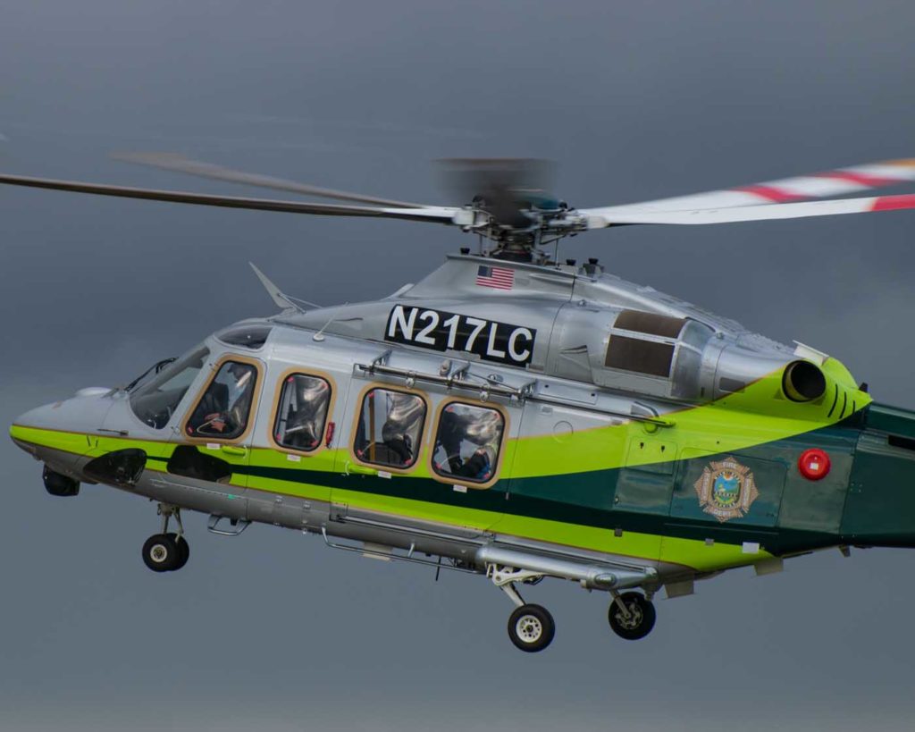
Because of this, pilots need to be able to access the latest weather information while in-flight — “weather in the cockpit,” as it was called. Gary Pokodner is manager of the Federal Aviation Administration (FAA) research program Weather Technology in the Cockpit (WTIC). The program develops minimum weather service recommendations for cockpit weather information and its rendering, as well as pilot weather training, technology standards and guidance documents. According to Pokodner, pilots typically concentrate too much on takeoff and landing sites, and not enough on the weather along the way.
“Timely weather updates can enhance strategic planning to avoid adverse weather, such as turbulence or convection, which can result in time savings, fuel savings and most importantly — enhanced safety,” said Pokodner.
The development of in-flight datalink
In the United States, Canada, and many other countries, in-flight weather information can be provided by radioing the various controlling entities, such as Air Route Traffic Control Centers (ARTCCs) in the U.S. and Flight Information Centres (FICs) in Canada. Most airports in North America have two ways for a pilot to get weather information while in-flight: talking to an air traffic controller, or accessing an automated weather information system. Even some non-manned airports have weather broadcasts generated by the observing system itself, such as an AWOS. But these weather sources had limited information compared to what was available on the ground, so a way of getting more weather information while enroute was needed. “In-flight datalink” was first developed in the late 1980s.
Knowing the importance of weather conditions to the aviation industry in the U.S., the FAA included significant changes in the dissemination of weather information in its modernization program, NextGen. The goal of the NextGen weather program was to use modern technology to produce more accurate weather products — and send them quickly and coherently to “decision-makers” in the aviation community. Of course, none of the “decision-makers” are more important to the safety of a given flight than the pilots on board. “Weather in the Cockpit” became a high priority.
Part of the NextGen initiative was to develop the Automatic Dependent Surveillance – Broadcast (ADS-B) technology. ADS-B Out allows aircraft to transmit their exact location continuously to over 700 land stations below. By adding the proper receiver, you can have ADS-B In, which allows aircraft to receive transmissions from ground stations. Pilots can then receive Flight Information Services – Broadcast (FIS-B), which includes the latest weather information. This is provided free of charge by the government.
The weather component available on ADS-B was developed to be comparable to basic weather services provided by private companies (such as textual/graphical weather products). To get ADS-B In, you need a 978 MHz universal access transceiver, a processing system, and a compatible display. The receiver can be mounted in the panel of the aircraft, or it can be a mobile device.
The transmission sources are the 700 land-based towers. You must be within line of sight and range of the ground station, which is typically somewhat over 150 nautical miles. This is more problematic for helicopters, which are often operating at lower altitudes. There are also some “practical limits” due to transmitter power and receiver sensitivity.
The private sector also offers in-flight weather information, usually via a subscription. The advantages of this include more tailored weather products and satellite transmissions, with no restrictions on line of sight or distance. Outside of the U.S., this is the only source of ADS-B-type in-flight weather information.
As for future developments to further improve in-flight weather information, the FAA’s WTIC program is continuing to look for any weather-related gaps in information and technology. However, the FAA notes that it “is not building cockpit applications” — just making recommendations. Private industry is required to develop the actual hardware and software needed to achieve the FAA’s avowed goals.
Looking ahead
WTIC is not the only FAA program looking to improve weather reporting in aviation. Within the organization’s Partnership to Enhance General Aviation Safety, Accessibility and Sustainability (PEGASAS), there is a specific project called Helicopter Operations Weather Information (HOWI). Its stated objectives are to enhance rotorcraft safety by identifying gaps and shortfalls — relevancy, availability, and barriers to effective use — associated with the type of weather information used in the rotorcraft community.
To accomplish this goal, the project will “identify what type of weather information is available to pilots, through which sources this information is made available or used (online, avionics, dispatch, etc.), if the relevant information is available, how this information is used in practice, and what additional information would be beneficial, pertaining to a set of missions.” Its final goal is “to identify mitigations for the identified gaps.”
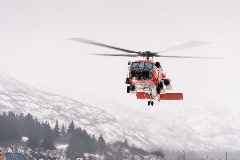
As part of the project, the team ran a survey on weather information use and relevance for helicopter pilots. The majority of respondents were air ambulance pilots. Most said they have access to a graphical display in the cockpit and said ADS-B In is useful. But 85 percent of them also said in-flight weather information had shortcomings. Specifically, pilots would like to see a satellite link to provide weather information to alleviate some of the problems with ground-based transmissions, better displays to show more information more efficiently, and the incorporation of helicopter emergency medical services (HEMS) data not currently available.
The HEMS weather tool was designed specifically to show weather conditions for short distance, low altitude flights — information not available from traditional aviation weather reports. Proposed improvements to the HEMS tool include integrating it into the graphical forecasts for aviation (GFA), adding additional weather observations such as mesonet data, and developing a flight path tool. Also, since many pilots are unaware of its existence, some believe a new, broader name should used.
As for future improvements in cockpit weather, one common concern is to not overload pilots with too much information.
“Pilots could be presented with a nearly endless stream of weather information, but much of it wouldn’t be useful and would likely be distracting,” said Arnaud Dumont, deputy director for engineering, aviation applications program, at the National Center for Atmospheric Research. “This is especially so for rotorcraft pilots with a heavy workload.”
Dumont proposed “the creation of tools that provide pilots with tailored information, such as weather hazards likely to be encountered. It allows a pilot to quickly decide what action to take.”
Five-Alpha’s Alexander said any information must be presented “in such a way that it is easy and fast to both read and understand.” He said he advocates “the development of a communications network capable of transmitting the vast volume of data required in near real-time — and the development of the standards that speak to how weather in the cockpit will be displayed to a pilot.”
However, he said funding is needed to support aviation weather research and the development of the WTIC program.
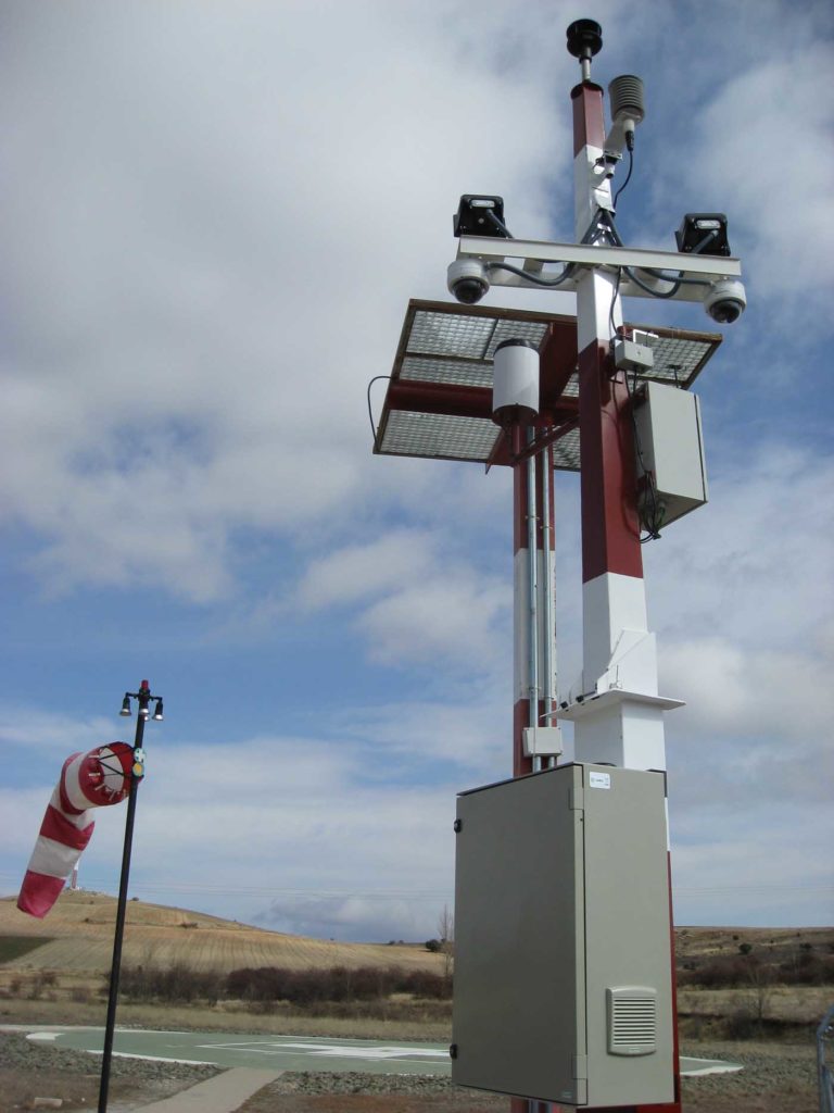
Pokodner would like to see pilots have access to webcams, ground observers, and automated observing systems, making “PIREP submittal easier, more timely, and more accurate,” and incorporating “observation information from various sources into a singular system.”
Both Alexander and Pokodner believe that pilots need more in-flight information on hazardous weather conditions such as turbulence, reduced visibility, icing, and thunderstorms.

In terms of weather information, pilots are better served today than they have ever been in the past. But the prospect of greater information promises to make them even better prepared to face the unknown challenges of tomorrow.